Amendments adopted
Project update - Jan 2021
The Development Control Plan (DCP) amendments listed in the resolution below came into effect on 18 January 2021.
Council resolution - Dec 2020
At its meeting on Tuesday 15 December 2020, Council resolved to:
- Adopt the amendments and replace clause B3.11 in the Pittwater 21 Development Control Plan 2014, clause E11 in the Warringah Development Control Plan 2011, and clause 5.4.3 in the Manly Development Control Plan 2013, with the amended Flood Prone Land Clause.
- Delete Clause B3.13 from the Pittwater 21 Development Control Plan 2014.
- Rescind the Flood Emergency Response Planning for Development in Pittwater Policy.
- Notify the above amendments to Development Control Plans in accordance with the requirements of the Environmental Planning and Assessment Act (1979) and associated regulations.
The Development Control Plan (DCP) amendments listed in the resolution above will take effect on 18 January 2021.
View the Council minutes (Item 11.2, page 10).
View the Council report (Item 11.2, page 92) and Attachment booklet 2 (Item 11.2, page 3).


Background
The Flood Prone Land Clause within the Development Control Plan (DCP) describes the planning requirements for flood prone land. A recent review of the clause has identified an opportunity to simplify the text and incorporate associated standards and policies into the single DCP clause.
The proposed amendments will clarify how we manage development and risk on flood prone land in the Northern Beaches and create a 'one-stop-shop' for applicants.
They do not affect the number of flood prone properties or change the severity of the controls, and they do not change the type of information required to be submitted with Development Applications.
At its meeting on 29 September 2020, Council resolved to publicly exhibit minor amendments to the flood prone land planning requirements.
Flood Hazard Map
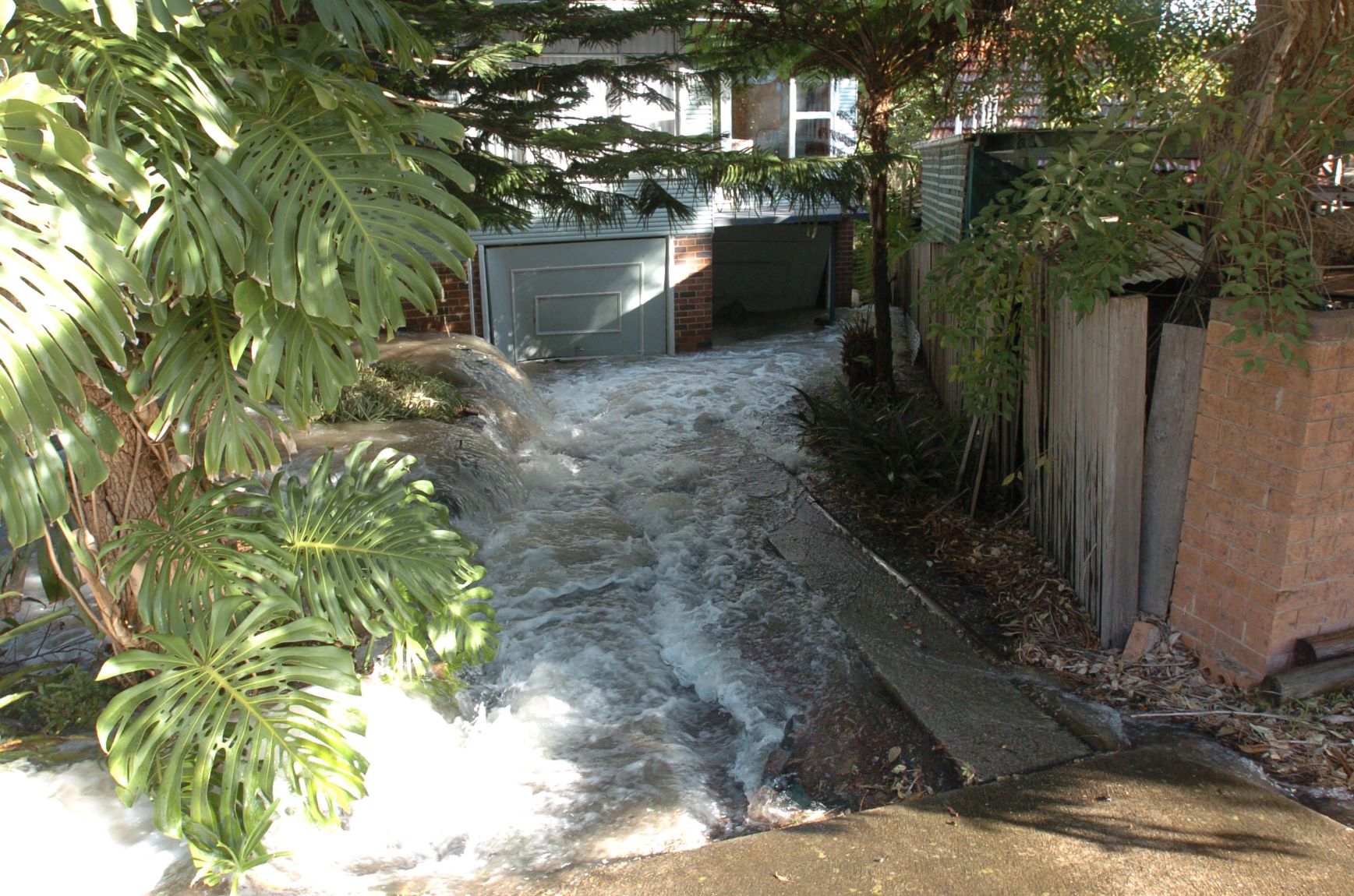
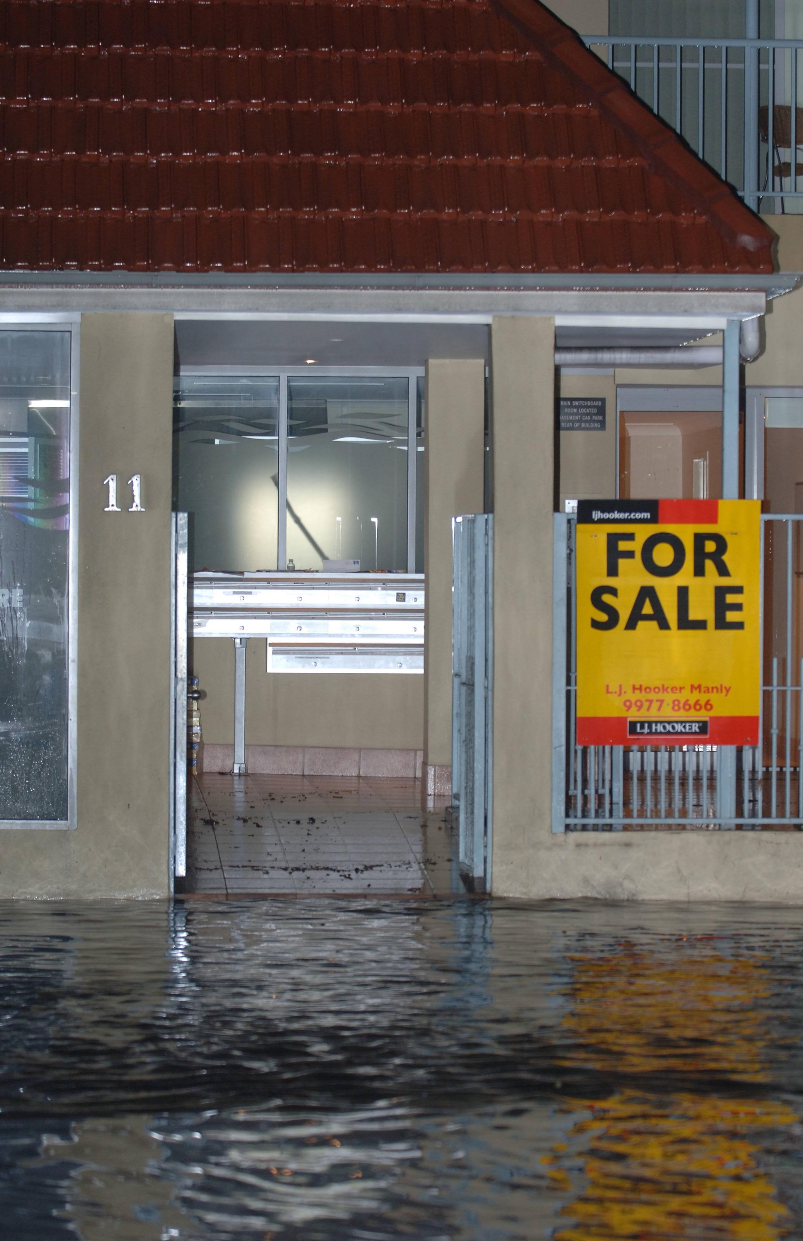
There are over 22,000 properties on the Northern Beaches identified as being subject to some level of flood risk.
If you're not sure whether or not your property, or part of your property, is flood affected (and therefore affected by flood related development controls), please refer to the Northern Beaches Council (NBC) Flood Hazard Map. This map will tell you if your property is flood affected and, if so, whether it is in a high, medium or low risk precinct. Select the Northern Beaches Council (NBC) Flood Hazard Map from the drop-down box.

Links
Document library
-
 Dec 2020 - Final Amended Flood Prone Land Development Control Plan ClausePDF (790.67 KB)
 -
Sep 2020 - Existing Flood Prone Land Development Control Plan ClausePDF (1.23 MB)
-
Sep 2020 - Proposed changes to Draft Flood Prone Land Development Control Plan ClausePDF (920.13 KB)
-
Sep 2020 - Proposed updated Draft Flood Prone Land Development Control Plan ClausePDF (204.02 KB)
Submission form now closed
Frequently asked questions


Project manager
| Name | Valerie Tulk, Specialist Floodplain Engineer, Stormwater & Floodplain Engineering Team |
|---|---|
| Phone | 1300 434 434 |
| floodplain@northernbeaches.nsw.gov.au | |
| In writing | 'Proposed minor amendments to flood prone land planning requirements' Northern Beaches Council, PO Box 82, Manly NSW 1655. |


